Geospatial & Digital Construction Products
Explore our range of advanced geospatial and digital construction solutions from FJDynamics. As the authorized distributor in Canada and Jamaica, Scan XYZ offers cutting-edge LiDAR scanners, GNSS systems, and aerial mapping technologies designed to enhance accuracy and efficiency in surveying and construction projects.
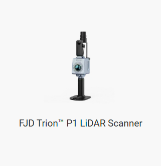
FJD Trion P1 LiDAR Scanner
A high-precision LiDAR scanner for detailed geospatial mapping and rapid data collection in various environments.
Learn More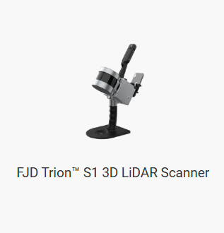
FJD Trion S1 3D LiDAR Scanner
An advanced 3D LiDAR scanner offering high-resolution surveying and spatial data analysis for complex projects.
Learn More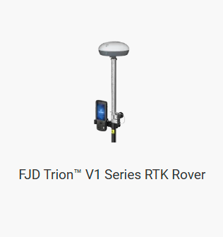
FJD Trion V1 Series RTK Rover
A reliable RTK rover providing high-accuracy geospatial positioning for surveying and mapping applications.
Learn More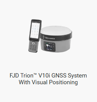
FJD Trion V10i GNSS System
An innovative GNSS system with visual positioning, enhancing survey accuracy and efficiency in challenging environments.
Learn More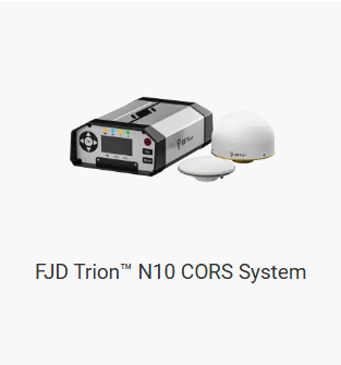
FJD Trion N10 CORS System
A Continuous Operating Reference Station (CORS) system providing consistent and reliable reference data for high-precision positioning.
Learn More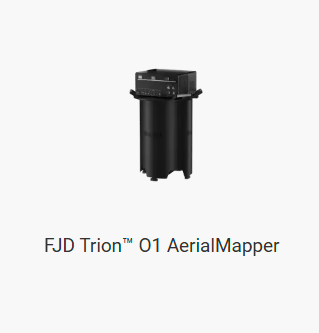
FJD Trion Q1 AerialMapper
An aerial mapping system delivering high-resolution geospatial data, ideal for large-scale surveying projects.
Learn More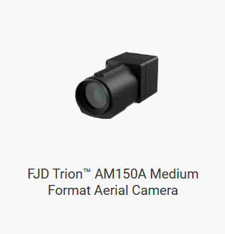
FJD Trion AM150A Aerial Camera
A medium-format aerial camera capturing detailed geospatial imagery for precise mapping and analysis.
Learn More